Corridor length outruns patrol capacity
Thousands of kilometres of right-of-way cannot be walked or driven at the frequency the threat requires, so detection lags the incident by days.
SL-06 — Service line
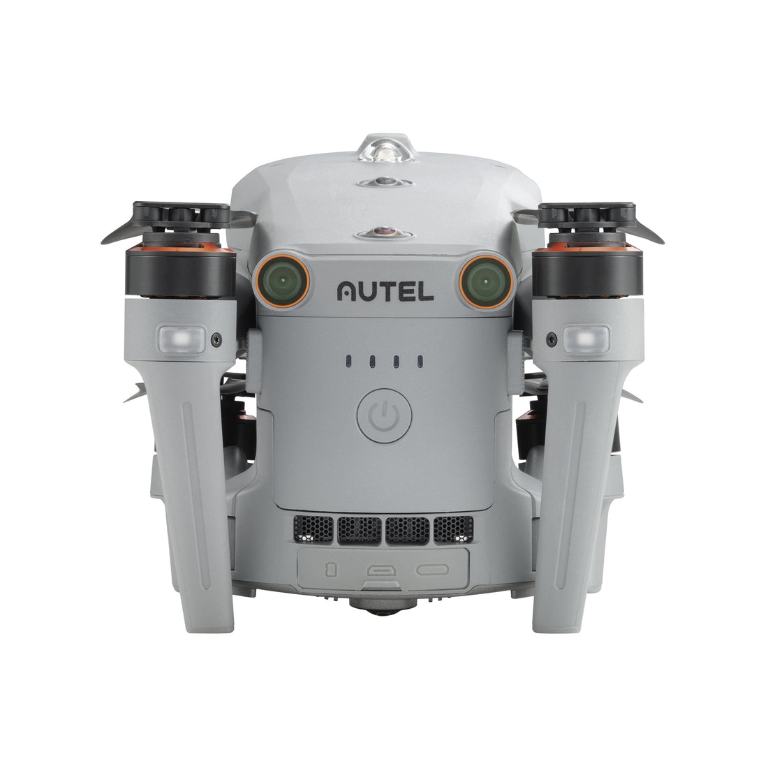
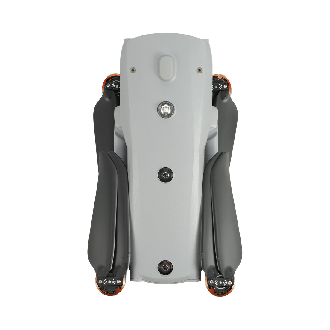
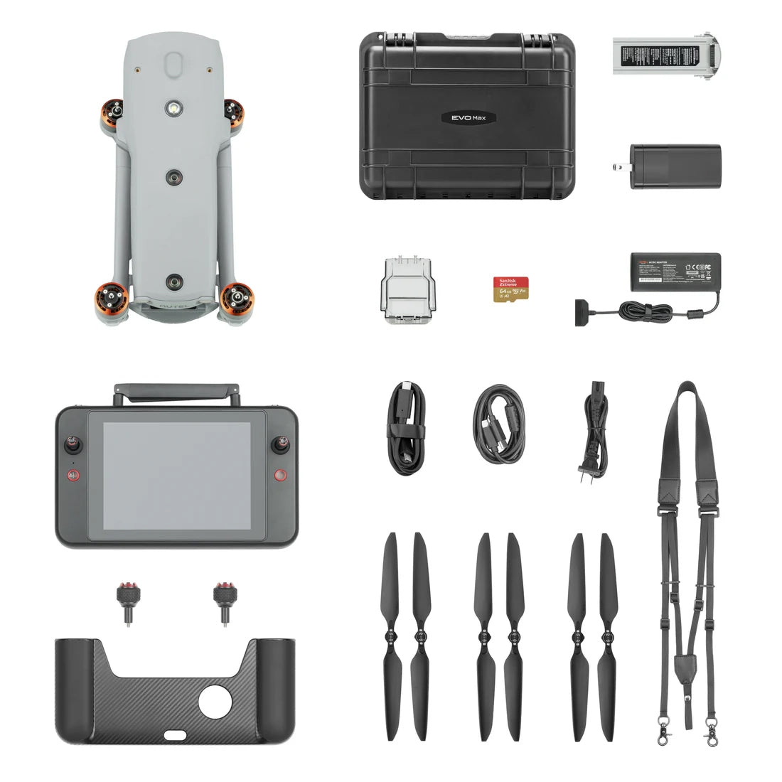
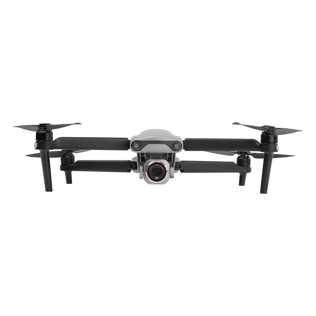
We supply and field two enterprise-class multirotor tiers: the compact EVO Lite Enterprise class for rapid single-operator deployment, and the heavier EVO Max 4T-XE for sustained tactical and public-safety operations.
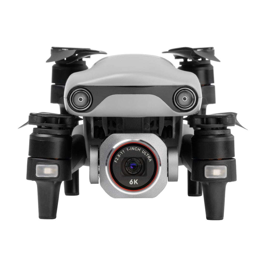
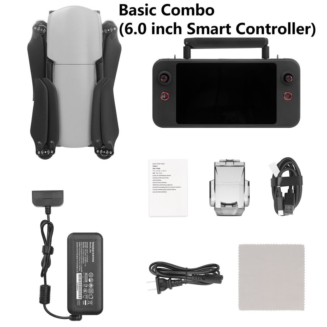
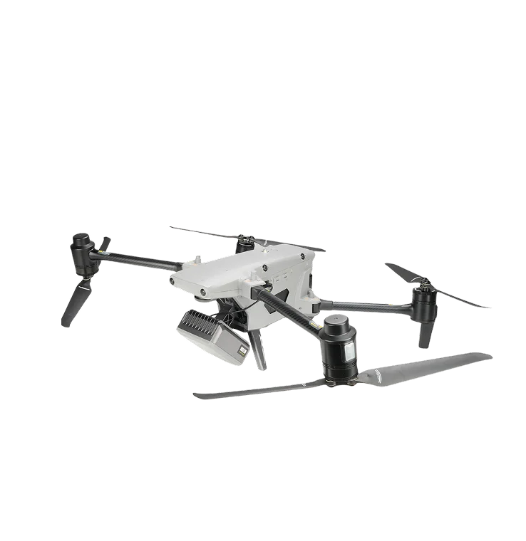
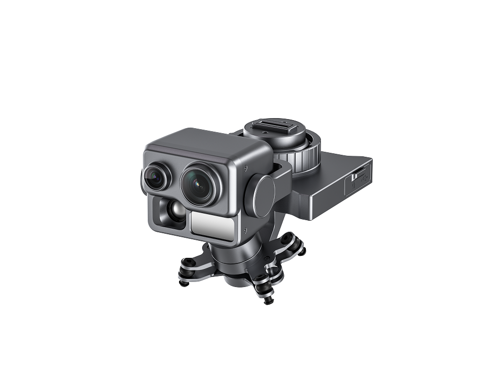
EVO Lite Enterprise — an 866 g airframe folding to 210×123×95 mm, carried in a backpack. The 640T variant carries a dual gimbal (48 MP, 1/2-inch CMOS visible-light camera with 16× digital zoom alongside a 640×512 thermal imager, 9.1 mm focal length, −20 °C to 550 °C measurement range, ±3 °C accuracy); the 6K variant carries a 1-inch CMOS sensor for high-sensitivity daylight imaging. Up to 40 minutes endurance, 12 km video transmission and three-way binocular vision obstacle avoidance.
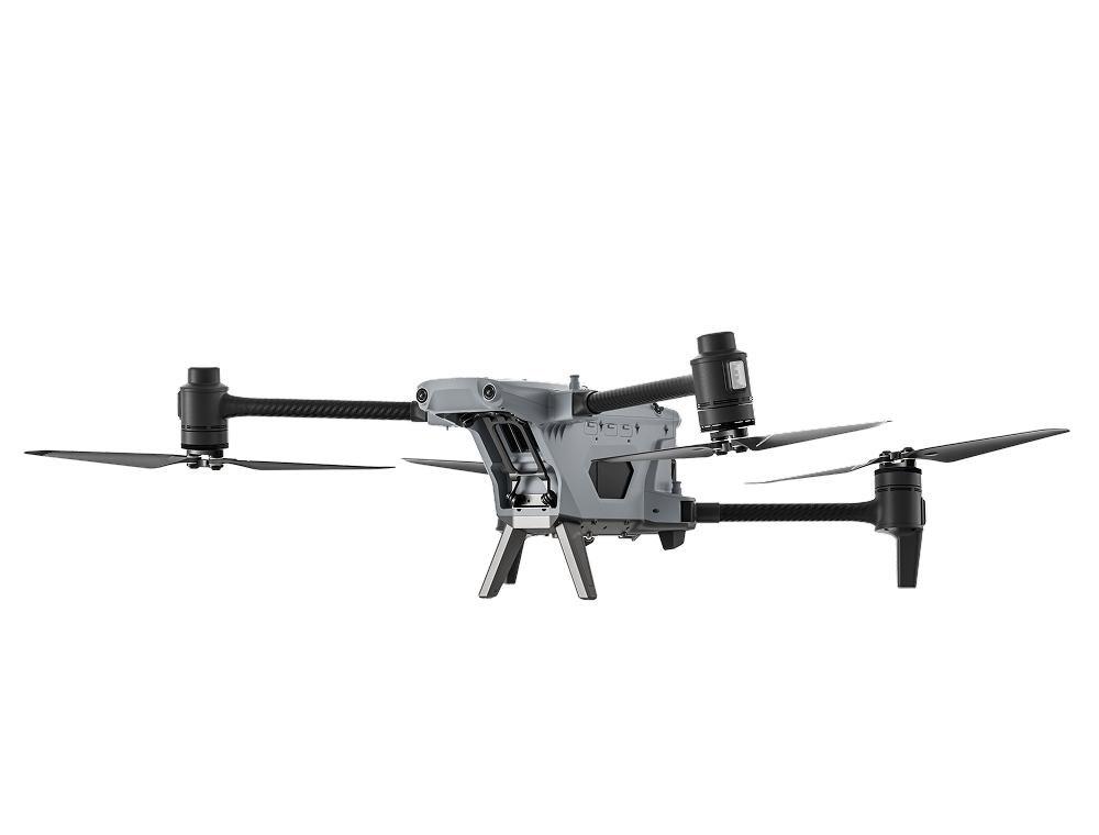
EVO Max 4T-XE — an integrated four-sensor payload combining wide, zoom and thermal cameras with a laser rangefinder, on an airframe rated to 42 minutes flight time, 720° obstacle avoidance, IP43 ingress protection and a −19 °C to 50 °C operating range. Autel SkyLink 3.0 provides a 20 km (12.4 mile) transmission range, A-Mesh 1.0 mesh networking links multiple aircraft and controllers, and the autonomy stack navigates in GPS-denied environments.
Mission software provides split-screen visible/thermal/map output, 3D map planning, multiple mission types, offline maps for weak-network areas, and AI target recognition that automatically detects and plots people, vehicles and boats. Data handling includes AES-encrypted media and flight logs, consent-gated log upload and RTMP live streaming to a control point.
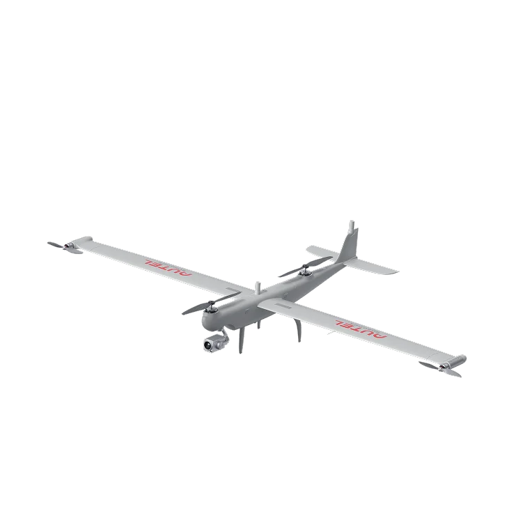
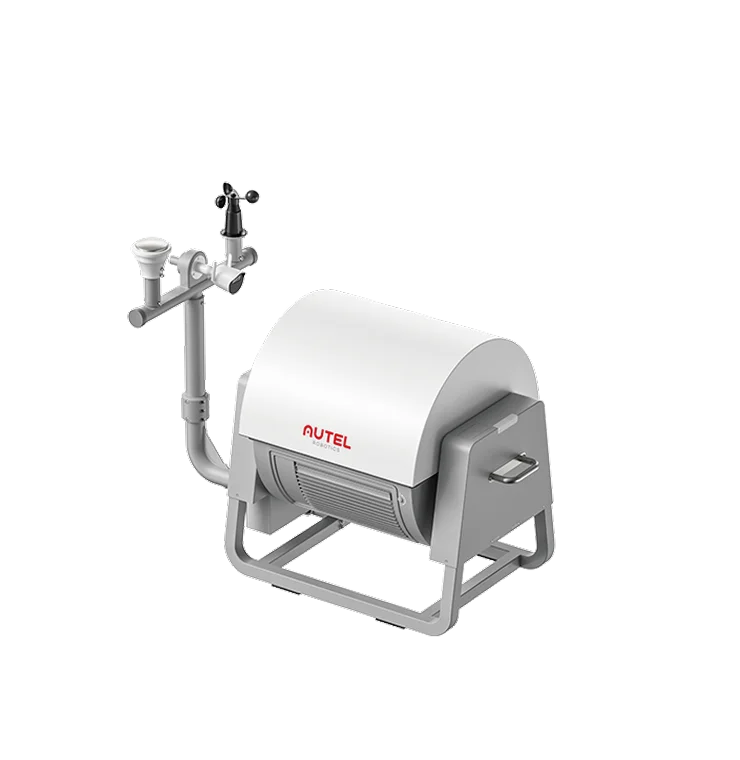
Application — pipeline and right-of-way inspection. Nigeria's trunk lines, product pipelines and flow-station networks run for thousands of kilometres through swamp, creek, farmland and dense urban right-of-way. Foot and vehicle patrol cannot cover that length at the frequency the risk demands, and by the time a report reaches the control room the loss has usually already happened. ICDATT NG replaces the patrol gap with scheduled autonomous flight: long-endurance tilt-rotor VTOL aircraft fly the full corridor without a runway, multirotors handle close inspection of valve stations, manifolds, flow stations, tank farms and jetties, and field-deployed docking nests keep aircraft forward-based so a sortie launches and recharges without a crew driving to site.
Every sortie feeds one command picture. Our integrated command system streams live visible and thermal video with the aircraft plotted on the route map, applies AI recognition to flag people, vehicles and boats inside the right-of-way, and holds the imagery and flight log as an evidential record against a reference number. Encroachment, illegal tapping, spill signature, vegetation growth and third-party construction are reported against pipeline chainage rather than a vague map pin.
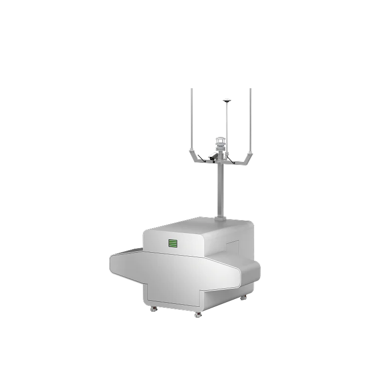
The inspection package is scalable, and we field it in two configurations. Configuration 1 — ultra-long route coverage: tilt-rotor VTOL aircraft (106 minutes endurance, 108 km/h, 45 km link, five-minute set-up) working from an IP55 docking nest with automatic flight and recharging, cloud tasking and encrypted data handling, with staged relay repeaters extending the command link and remote 4G monitoring of each relay. Configuration 2 — facility and station coverage: EVO Max 4T multirotors (no blind spots, 10× optical zoom, A-Mesh networking, 42 minutes flight time) working from an EVO Nest with a 7 km operating radius, IP55 protection, 25-minute fast charge and AES-256 encryption. Both configurations report into the same integrated command system, giving autonomous, blind-spot-free inspection of routes no manned patrol can cover at frequency.
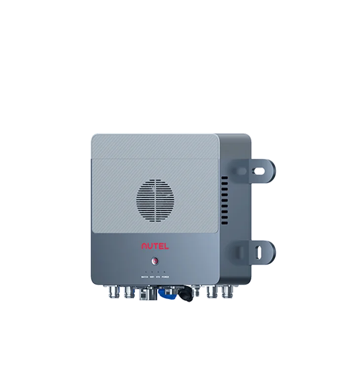
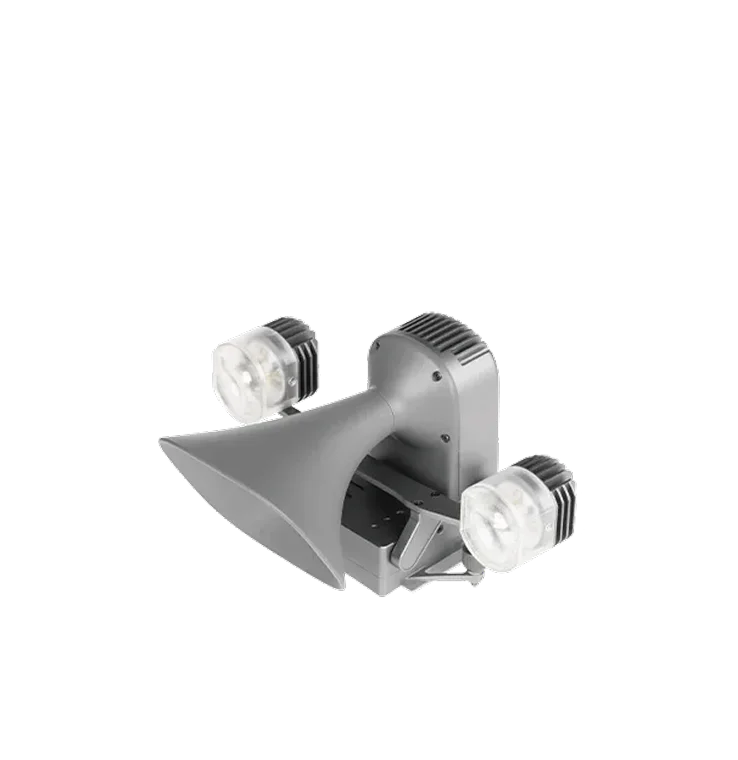
Application — urban patrol and surveillance. ICDATT NG pairs multirotor aircraft, docking nests and the integrated command system to cover the ground fixed cameras and foot patrols cannot: open spaces, complex terrain, high-rise frontage, school and campus perimeters, markets and shopping centres, key road sections and crowded outdoor events. Aerial patrol restores prevention and supervision where police manpower is the binding constraint: an aircraft launches in about a minute and is over the scene in about three, personnel requirement on a given beat falls by roughly half, and in fire, unrest or other hazardous conditions the aircraft goes in place of a human. A loudspeaker-and-spotlight payload turns the same airframe into a dispersal, warning and area-lighting asset — 150 m lighting throw and 300 m broadcast range on a quick-release mount.
Application — key site and perimeter security. For border zones, strategic institutions, oil and gas facilities, airports, government precincts and major venues, we combine tilt-rotor and multirotor aircraft, nests, counter-UAS equipment and the command system into one detect–identify–counter loop. Nest-based aircraft launch, land and recharge unattended for 24/7 perimeter coverage, closing the blind spots that long boundaries and high-rise overwatch leave open. The counter-UAS layer addresses hostile drones over sensitive sites — including swarms and multiple simultaneous operators, which single-point defences fail against — and shifts interdiction from a manual reaction to a precise, system-directed one. Data-theft risk from unauthorised aircraft and personnel is handled as part of the same picture, with encrypted media and logs throughout.
Application — waterway, coastal and anti-smuggling patrol. Nigeria's creeks, littoral waters and the Lagos and Niger Delta approaches are exactly the environment traditional monitoring loses: long, broken shorelines, remote water, targets that vanish between patrol passes, high boat-hour cost and real danger to officers on rough water or against armed groups. A tilt-rotor nest on the shoreline flies scheduled long-endurance patrols, staged repeaters keep the link alive far offshore, and the command system applies AI vessel and person recognition with live alerting — so detection, tracking and evidence capture happen covertly, before the target knows it has been seen, and interdiction is directed onto a plotted position.
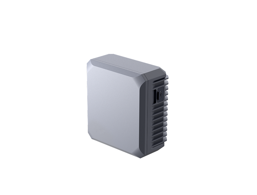
Application — rogue-drone and pilot positioning. Unauthorised aircraft over airports, stadiums, refineries and government precincts are increasingly a live threat, and the operators evade detection deliberately: signal hopping, GNSS disabled, no Remote ID broadcast, and after a crash the airframe alone proves nothing. We field an aircraft-mounted high-precision radio direction-finding payload that triangulates the controller's signal horizontally and vertically in flight, plots the probable operator area on the map, then closes in for visual search with AI recognition to identify the person on the ground. The same payload locates concealed ground-based jammers inside UAV frequency ranges, and the host airframe holds anti-interference navigation without GNSS so it keeps flying in a contested radio environment. Detection range is about 3 km with up to six simultaneous target sources.
Where a client operates its own fleet, ICDATT NG supplies, commissions and sustains the systems and trains the crews to NCAA requirements. Where a client would rather buy the output, we fly the corridor as a contracted inspection service and deliver the report. Both models issue findings through the ICDATT client portal, not by open email.
Deployment in Nigeria is conditional on the operator's NCAA Remotely Piloted Aircraft System permissions, security clearance for the area of operation, and the asset owner's written authority over the right-of-way. Specifications above reflect published manufacturer figures; model selection, payload configuration and pricing are issued to the requesting buyer through the client portal.
Capability
Operating problem
Thousands of kilometres of right-of-way cannot be walked or driven at the frequency the threat requires, so detection lags the incident by days.
Creek, swamp, flooded farmland and rainy-season washouts make long stretches physically unreachable, and put patrol teams at risk where they are reachable.
Spills, fires and breaches occur at scattered points far from any manned facility. Without an aerial picture, responders commit resources before they know what they are facing.
Verbal and photographic reports without position, time and chain of custody are hard to act on commercially, with regulators or in court.
Open ground, dense high-rise frontage, market and event crowds and broken shoreline sit outside the reach of fixed monitoring, leaving security dead zones exactly where incidents start.
Schools, major events, long perimeters and littoral approaches all demand routine presence at once, and conventional patrol strength cannot be in all of them at the frequency the risk demands.
Unauthorised aircraft over sensitive sites arrive in numbers, with GNSS disabled and no Remote ID, while single-point defences and manual counter-UAS equipment react too late and too imprecisely.
By the time a team reaches a scene by road or boat the situation has moved, and command is committing people without a current picture of what they are walking into.
Delivered outcome
Tilt-rotor route patrol paired with multirotor close inspection cuts inspection cost by around 50% against manned patrol, at a far higher inspection frequency across the same corridor.
End and edge processing makes response proactive rather than reactive: automated tasking from the nest and the command system raise incident-handling efficiency by around 30%, putting eyes over a spill, fire or breach before ground teams commit.
Crews inspect creek, swamp and hostile-terrain segments from a safe launch point instead of entering them on foot or by boat.
Every sortie produces referenced, encrypted imagery and logs tied to chainage — usable for regulatory reporting, insurance and enforcement.
One aircraft covers more ground, and from angles no fixed camera holds. On a covered beat the personnel requirement falls by roughly half, cutting the standing cost of routine patrol.
Nest-based launch in about a minute and arrival over scene in about three gives command live video before ground units commit — decisions are made on what is happening, not on what was reported.
Unattended nest patrols plus counter-UAS equipment turn single-point protection into area protection, running a continuous detect–identify–counter loop with centimetre-level targeting accuracy.
Aerial patrol tracks and records smuggling and illegal-crossing activity without announcing a presence, so evidence is captured and interdiction is directed before the target reacts.
Platforms